Services
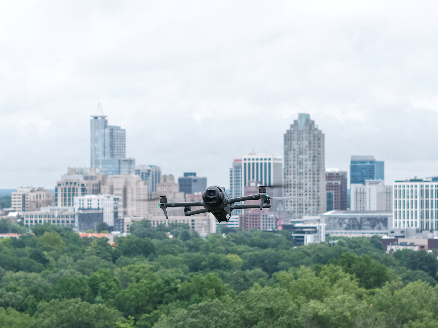
At Ace Sky Tech, we provide high-resolution aerial imaging, precision mapping, and cinematic drone footage for real estate, events, inspections, and more. Whether you're showcasing property, capturing memories, or surveying a site, our drone services deliver stunning visuals with unmatched clarity and professionalism.
🏡 Real Estate and Property Images
At Ace Sky Tech, we help your listings stand out with sharp, high-resolution aerial and ground-level imagery that captures every detail of a property. Using state-of-the-art drone technology and professional editing, we provide photos and videos that elevate your marketing, attract more buyers, and give your listings the edge they need in today’s competitive market.
🏗️ Construction & Insurance
Track your build from above with consistent, high-resolution aerial coverage. We offer scheduled drone flyovers to document progress, monitor site conditions, and capture key milestones — from groundbreaking to final inspection.
We provide fast, high-quality aerial and ground imagery to support insurance claims and damage assessments. Available for both routine inspections and catastrophic events, we help adjusters document roof damage, property loss, and site conditions quickly and accurately — even in hard-to-access areas.
🗺️ Vacant Land & Property Photography
We capture stunning aerial imagery of vacant lots, farms, wooded land, and rural acreage — even without a structure. Our drone shots showcase access, terrain, and surroundings, with optional property line overlays to help buyers visualize the boundaries. Perfect for land listings, agricultural sales, and undeveloped parcels.
🏠 Residential & Commercial Real Estate
We deliver sharp, high-resolution drone and ground-level images that showcase your property’s best angles, from curb appeal to roof condition.
Whether it’s a home, rental, or business, our visuals help listings stand out and sell faster. Optional 6video, and property line overlays available.
🏗️ Construction Site & Progress
We offer scheduled drone flyovers to document construction progress, capture time-lapse sequences, and conduct roof and structural inspections. Our services support everything from site planning to final walkthroughs, with optional orthomosaic mapping for detailed analysis.
For insurance professionals, we provide fast aerial and ground-level imagery to assess storm damage, roof condition, and property loss. Available for both routine inspections and rapid response during catastrophic events, we help adjusters access hard-to-reach areas and process claims with confidence.
Roof & site inspections
Time-lapse documentation available upon request
Call us at
910-390-0002
or click below to schedule your consultation
